About Our Services
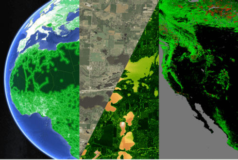
Remote sensing imagery services range from satellite image procurement from national & international agencies / imagery providers to image processing, interpretation and image analysis for various applications.
Our remote sensing services are used for macro level applications such as land use planning, natural resource management, watershed management, wasteland mapping, corridor mapping for industrial zone, dam site identifications and livelihood development. Our services include
- Seamless raster data products
- Terrain Mapping & Digital Elevation Modeling
- Land use/ Land cover (LULC) Classification
- Change Detection Mapping & Analysis
- Advance Spatial Analysis
